5 Easy Colonial America Map Activities for Tweens
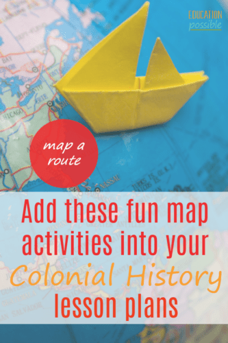
One way to combine middle school geography and history is to work on Colonial America map activities.
When we study this time period, I include as many American history activities as possible to bring Colonial America to life for my older kids.
Let’s be honest…how much time do your kids spend studying (or even looking at) maps?
If the is the answer is something like “…well, not very much” then don’t worry, we have a few ideas that will make it easy to incorporate mapping into your lessons of early American history.

This post contains affiliate links.
My crazy kids love history and actually ask to look at maps, so here are a few easy Colonial America map activities for kids that we have used for years in our house.
Table of Contents
Colonial America Map Activities
Hopefully, your curriculum will include some basic maps of the colonies. If not, don’t worry, maps are easy to find online. Just do a Google search for the state or colony you are studying, select a map, and print it.
Or you can use our favorite map resource – WonderMaps. You can choose from a huge library of historical and current maps and download and print whatever you need. We use it all the time as part of our history lesson plans.
Drawing Maps
Give your child a dry erase board or plain piece of paper and have him draw the outline of a state and then label the major cities. Or go outside and use chalk to draw a map on the driveway. Learn about scale and the compass and try to get the distances as accurately as possible.
If your child draws (or even traces) the outline of an area, he is much more likely to remember the shape, and some interesting characteristics than if he just looks at a map.
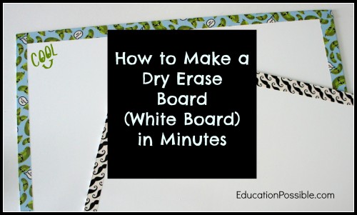
Laminate a Map
Do you have a laminator? If so, laminate a map and have your child use dry erase markers to label colonies, cities, bodies of water, etc. The dry erase marker will wipe off and the map can be used over and over again.
One year we visited Colonial Williamsburg, and after our trip, we printed Colonial America maps on legal size paper, had them laminated, and used them as placemats. The kids had fun quizzing each other about the colonies when they ate lunch!

Mapping Historical Routes
Remember the overhead projector your teacher used to use and the clear transparency sheets they would right on? You can buy those sheets (write-on transparency film) and use them to build layers on maps.
For example – we have used these to map the routes of explorers across the ocean, changes of colony/state boundaries, and the movement of troops in the revolutionary war.
Just place one transparency sheet over your map and use dry erase markers to draw on it. Then, place another sheet on top and draw on it with a different color dry erase marker to show how something looked at a different point in time. You can tape one edge of the films to the map and when the maps are stacked on top of each other the layering of your drawings will show the differences.
13 Colonies Map Project
Kids love when they can build things as part of their history lessons. Get a large piece of poster board and draw or paint the outline of the colony/region you are studying. Then use Model Magic or Playdough to build famous icons and landmarks.
Create the Jamestown fort or a ship for the Boston Harbor and place them on the appropriate space on your Colonial America map.

Edible Map Project
Yes, you can make classic salt dough maps, but it’s even more fun to use cookie dough so you can eat your map when you are finished! Cut your dough into the shape of the state/colony you are studying – you can even use those laminated maps as a guide by putting the dough on the map and using a pizza cutter to go around the borders.
Use a variety of candy, icing, sprinkles, etc. to mark the cities, mountains, rivers, etc.
Hopefully, you’ve discovered a new map activity to add to your middle school history lessons on the 13 Colonies.
What are your favorite DIY Colonial map activities?

8 Comments
Comments are closed.
Love the maps and activities! Pinning this for future reference
Thank you Linda!! Enjoy!
Thank you so much for linking up with the Hearts for Home Blog Hop. I am featuring you as one of my favorites. Be sure to stop by and grab an “I’ve been featured” button. The post should go live around 9pm Eastern tonight.
Thank you for featuring us, Lisa! Very happy to add that wonderful button to our post.
Very fun! Yep, I think I will have to let my kids see this one. They will want to try it out for sure. 🙂
Thanks Laurie, we hope your kids enjoy the projects!