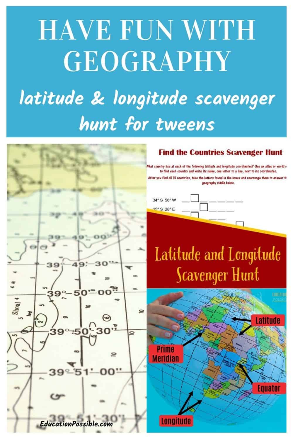
Learn Latitude and Longitude with This Fun Scavenger Hunt
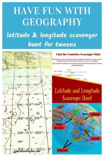
Add this latitude and longitude scavenger hunt to your middle school geography lesson plans.
There was one year, when both my kids were in middle school, when I was spending a lot more time on geography in our home school, and I taught a geography co-op class to 21 middle schoolers.
With all of those geography lessons, I was constantly trying to find hands-on activities to keep everyone engaged and understand the material better.
Any links in this post may be affiliate links. See my disclosure statement.
I created this scavenger hunt to make learning about latitude and longitude fun and interesting for my kids. They loved it!
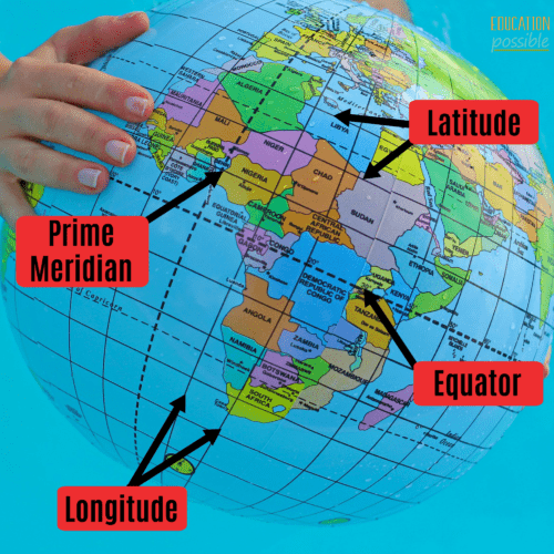
We started the semester off by mapping the continents and the oceans. We also highlighted the equator, as well as the prime meridian.
Then it was time to learn about latitude and longitude and the activity they liked the best was definitely this printable scavenger hunt.
Table of Contents
What are Latitude and Longitude
Latitude and longitude are the common grid system used for navigation.
Latitude is the distance (measured in degrees) north or south of the equator, and runs east to west.
The equator is the imaginary horizontal line drawn around the globe, dividing the world into northern and southern hemispheres; it is zero degrees (written as 0°) latitude. 90 degrees (90° or 90°N) north of the equator is the North Pole, while the South Pole is found at -90 degrees (-90° or 90°S ) south of the equator.
Longitude is the angular distance (measured in degrees) east or west of the prime meridian, and runs north to south.
The prime meridian is the imaginary vertical line, running from the North to the South Pole, that passes through Greenwich, England. It is at zero degrees (written as 0°) longitude and divides the world into eastern and western hemispheres, into 360 degrees (360°). It goes 180 degrees (180° or 180°W) to the west and -180 degrees (-180° or 180°E) to the east.
How to Locate A Country Using Latitude and Longitude
Make sure to use a map that includes the longitude and latitude markings.
When you’re mapping this way, you need to find the first number, the latitude, by looking along the sides of the map (east/west) until you find the number you’re looking for. Remember that positive numbers or latitude numbers labeled with an N are north of the equator. Negative numbers or those marked with an S are south of the equator.
Now, staying on that line, move left or right (east/west) to find the coordinate that corresponds with your longitude. Those numbers are at the top and bottom of the map (north/south). Remember that positive numbers or longitude numbers labeled with an E are east of the prime meridian. Negative numbers or those marked with an W are west of the prime meridian.
Once you have the intersection of those numbers, determine what country you’re in and mark it or write it down.
Is the primary unit that latitude and longitude are given, degrees, all that you need to find a location? Yes and no.
To find the general country or spot on a map, degrees will work. Each degree is equal to approximately 70 miles. But if you want to locate a more specific or accurate place, like an address, you’ll need to divide the degrees into minutes and seconds. These are the numbers that follow the degrees.
If you’re writing your coordinates as decimal degrees, they come after the decimal point. If you’re writing them in the DMS format (degrees, minutes, seconds), they’ll follow the degrees sign.
For Casablanca, Morocco I can write its coordinates as both:
- 33.589886, -7.603869 (decimal degrees)
- Lat 33° 35′ 23.5896” N Long 7° 36′ 13.9284” W (DMS)
What are the minutes and seconds?
When looking at a map, imagine that in between each latitude and longitude line, there are 60 minutes. You can see how many minutes your location falls between the lines for a more accurate pinpoint. Each degree is divided into 60 minutes (‘) and each minute is divided into 60 seconds (“).
Using the above latitude example, Casablanca is at 35 minutes (35′) and 23.5896 seconds (23.5896″).
Does Latitude or Longitude Go First?
Latitude is commonly written first, followed by longitude. This is because latitude gives your location north or south of the equator, while longitude indicates how far east or west you are from the prime meridian. So latitude tells you how to find a location on a map vertically, and longitude does so horizontally.
Why Learn Latitude and Longitude?
So why do we need to know this? Why do they matter if they’re not physical places on our map? And why should kids care when they have apps on their phones?
Because they’re coordinates, or directions. We haven’t always had the gift of the GPS to help us find our way and you never know when technology might fail you, so it’s important to know how to get around using other tools. In fact, many people still continue to use latitude and longitude as their guide.
It’s one of those skills that’s good to have.
Is there an easy way to remember longitude and latitude?
Kind of. Here are a couple of things tweens should keep in mind.
They should think of longitude as the lines that run east-west on a map, and latitude as the lines that run north-south. Or, think of longitude as the distance around the earth, and latitude as the distance from the equator.
Ultimately, the best way for this to become second nature to kids is through practice.
3 things to remember about longitude and latitude:
- Coordinates are written in degrees (°).
- Latitude always goes first.
- Pay attention to whether the coordinate is a positive or a negative number. If you write down 180° instead of -180°, you will find yourself in Russia when you were aiming for Canada.
Keep reading because I have a super fun way for your kids to practice finding country coordinates! Hands-on activities like this are my favorite way to teach geography to middle school students.
Latitude and Longitude Activity
In class, to help everyone learn how to use latitude and longitude to find countries, I used a printable map that had the latitude and longitude marked and gave them country coordinates to find. Because I wanted them to locate countries, which are large areas, we only used the degrees. This made it easier for them as they were just starting to learn.
To begin, I gave the students a set of coordinates 23° N 80° E. The goal was for them to find the country on their map and mark it. Once everyone found the right location, they shouted out what country they were in, which was India.
We also looked up our hometown online and marked it on the map.
Then, I gave them a list of 10 coordinates and had them work in pairs to find the countries using just the latitude and longitude. They liked this activity so much that I created a scavenger hunt for them to keep practicing their skills.
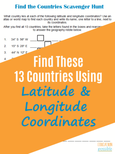
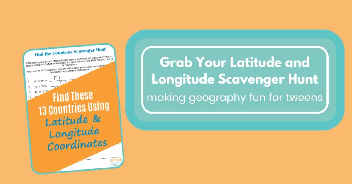
Latitude and Longitude Scavenger Hunt
I wanted a fun way for middle schoolers to review latitude and longitude, so I created this Latitude and Longitude Scavenger Hunt. It’s an excellent tool that you can use with your kids during your geography lesson.
To make it less stressful for them as they’re learning these mapping skills, I’ve only used degrees in this printable scavenger hunt. That way you won’t have to worry about minutes and seconds while searching for the various countries.
You’ll Need:
- A copy of Latitude and Longitude Scavenger Hunt
- A map showing latitude and longitude lines (we often use printable maps from WonderMaps)
- An Atlas – my kids love using the Student Atlas from DK Publishing
When working through the page, let your students figure out what country lies at each of the coordinates. Once they’re done, the letters in the boxes can be unscrambled to complete the geography riddle.
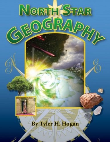
Student World Atlas Giant World MapNorth Star Geography


I hope your tweens and teens have as much fun working on their mapping skills as mine did!
Other Atlas Scavenger Hunts
Here are a couple of additional geography scavenger hunts you can add to your lesson plans.
Hands-on Geography Activities
Aside from latitude and longitude, need some fun geography activities for tweens? Check these out.
- Build a volcano to learn about the earth and its formations.
- Use sugar cubes to build a karst cave.
- Geography games and activities for older kids.
- Interesting activities you can use to teach geography.
What is your family’s favorite way to learn about latitude and longitude?

Latest posts by Megan Zechman (see all)
- Easy Pumpkin Crafts - August 21, 2023
- Middle School Geography Curriculum - August 11, 2023
- Outdoor Geography Activities - August 4, 2023
3 Comments
Comments are closed.
Wow. I found this post looking for middle school geography posts. I’m teaching geography in our co-op to 20 middle schoolers this year. I will have to check out your other posts from a fee years ago. 🙂